Introduction
Bare soil on a construction site doesn't stay put. One heavy rain or a windy afternoon can carry it into neighboring yards, streets, storm drains, creeks, and finished patios.
Sediment is usually the main pollutant in construction runoff. The 2017 National Water Quality Inventory found sedimentation impaired 84,503 river and stream miles, according to an EPA fact sheet.
An erosion and sediment control plan (ESCP) turns site observations into a phased strategy. It shows how soil is protected, runoff is managed, and sediment is contained.
This guide covers when a plan is required, what it contains, how to pick best management practices (BMPs), how it relates to a stormwater pollution prevention plan (SWPPP), and how to inspect and maintain controls.
Key Takeaways
- Confirm local rules against disturbed area, slope, drainage, receiving waters, and the reviewing agency.
- Cover prevention, runoff control, sediment capture, stabilization, inspection, maintenance, and closeout, not just silt fence on a drawing.
- An ESCP may not replace a required SWPPP.
What an Erosion and Sediment Control Plan Does
An ESCP is a site-specific document or drawing set. It identifies where soil will be disturbed, how runoff will move, which controls go where, who maintains them, and how the site gets stabilized.
Erosion is the detachment and movement of soil. Sedimentation is that soil settling in drains, waterways, or on someone else's property.
Erosion controls work at the source: they reduce disturbance, slow runoff, and cover soil. Sediment controls intercept soil that is already moving.
Why the distinction matters
EPA treats the two as complementary. Source controls can reduce the need for sediment-control structures and their upkeep.
Picture a bare slope with concentrated runoff. Silt fence at the bottom clogs, overtops, and sends mud into a storm drain. Mulch, seeding, or a slope break upstream would have kept most of that soil in place.
Uncontrolled sediment causes real problems:
- Filled rivers and lakes, added dredging, and damaged aquatic habitat
- Blocked drains and flooded neighboring property
- Slick roads and tracking onto streets
- Failed inspections, stop-work orders, and schedule delays
When a Plan May Be Required
Whether you need a formal ESCP depends on site conditions. Agencies typically weigh:
- Acres of land disturbed
- Grading or excavation volume
- Distance to waterways or storm drains
- Slope and soil conditions
- Project duration and type
- Whether the work is part of a larger common plan of development
Federal and California thresholds
The federal Construction General Permit covers projects disturbing 1 acre or more, or less than an acre within a larger common plan, where EPA is the permitting authority. California's 2022 permit (Order 2022-0057-DWQ) uses the same threshold.
Smaller sites can still be caught by local rules. Los Angeles County's grading review sheet requires an ESCP for active grading during the rainy season, October 15 to April 15. The county will not issue a grading permit until the ESCP is approved or erosion-control details appear on the grading plan.
For Los Angeles County sites:
- 1 acre or more: ESCP review plus a State SWPPP, NOI, and WDID. A State SWPPP may satisfy the ESCP requirement.
- Small residential sites under 1 acre: BMPs must appear on the plans.
- New nonresidential projects under 1 acre: ESCP review.
Ventura County and the City of Ventura are separate jurisdictions with their own grading and stormwater resources. Check current requirements with the one that governs your parcel. Don't assume a countywide rainy-season cutoff.
Legal triggers aren't the whole story. Hillside grading, retaining walls, pool excavation, long schedules, and drainage changes justify documented controls even when no permit demands them.
Who does what
Roles differ by project. In California:
- The discharger remains responsible for compliance
- A Qualified SWPPP Developer (QSD) writes and amends the SWPPP
- A Qualified SWPPP Practitioner (QSP) handles required inspections
Owners, contractors, and engineers may share the remaining duties, so assign them in writing.
How to determine applicable requirements
- Identify the permitting authority.
- Determine the disturbed area.
- Review grading and drainage plans.
- Identify receiving waters and storm-drain connections.
- Check local erosion-control details.
- Confirm whether a SWPPP or other stormwater permit applies.
Don't rely on a generic online form. The plan must reflect your actual contours, soils, sequencing, discharge points, and BMP locations.

Erosion and Sediment Control Plan Requirements
The requirements below work as a practical checklist. Reviewers may still ask for extra sheets, calculations, notes, or certifications.
Site identification
- Address, parcel or legal description, and boundaries
- Nearby roads, access points, adjacent properties, water bodies, wetlands, and storm drains
- Owner, developer, contractor, designer, permit references, and the person responsible for updating the plan
Existing conditions
Document the following existing conditions:
- Contours, slopes, and soils
- Vegetation, drainage patterns, and impervious surfaces
- Existing erosion and areas to preserve
Useful public sources include the USDA Web Soil Survey for soils, the USGS National Map for topography, and FEMA's Flood Map Service Center for flood hazards.
Grading, drainage, and limits of disturbance
Show on the plans:
- Cuts, fills, excavations, and retaining structures
- Finished grades, swales, outlets, and temporary diversions
- The disturbance boundary
Coordinate with pool excavation, wall construction, utilities, hardscape, and landscape grading. Treating each trade separately is how drainage conflicts start.
Sequencing and phasing
A typical order:
- Install perimeter controls and stabilize access points.
- Complete grading.
- Build drainage.
- Stabilize slopes.
- Install structures and hardscape.
- Restore disturbed areas.
Phasing limits how much soil is exposed at once. Add a project-specific schedule with milestone dates.

BMP layout and details
Locate and specify each control on the plan:
- Perimeter controls and construction entrances
- Inlet and stockpile protection
- Diversions, sediment traps or basins
- Slope protection and dewatering controls
- Concrete washout and stabilization
For every BMP, include materials, installation standards, inspection points, maintenance actions, removal timing, and criteria for upgrading a failing control.
Inspection and closeout
Specify inspection frequency, storm-triggered inspections, forms, corrective-action records, responsible personnel, and how the plan gets amended. Verify frequencies against your permit.
Closeout should cover:
- Final stabilization
- Removal of temporary BMPs
- Restored drainage paths
- Disposal of accumulated sediment
- Paperwork needed to release obligations
Best Management Practices for Erosion and Sediment Control
Follow a hierarchy: avoid unnecessary disturbance, minimize exposed soil, slow and direct runoff, stabilize surfaces, then capture sediment before it leaves.
Prevent erosion at the source
- Preserve existing vegetation where feasible
- Limit clearing to active work areas
- Phase excavation and protect topsoil
- Keep vehicles off exposed soil
Match stabilization to slope, soil, weather, and time until final construction. Options include mulch, erosion-control blankets, tackifiers, hydroseeding, sod, aggregate, and paving. EPA reports that mulching and seeding dramatically reduced sediment loads at small construction sites.
Control runoff and concentrated flow
Route and slow concentrated flow with:
- Diversion berms and swales
- Check structures and slope breaks
- Discharge extensions and energy dissipation
Controls must carry expected flow safely without pushing water onto neighbors. Size channels, outlets, and basins from local specifications and engineering calculations, not a universal rule.
Keep sediment on site
- Stabilized entrances reduce tracking onto streets
- Silt fence acts as a temporary porous barrier; it does not suit channels with continuous flow and fails when overtopped, bypassed, or poorly installed
- Fiber rolls follow the slope contour, perpendicular to flow
- Inlet protection, traps, and basins capture what gets past upstream controls
Perimeter controls don't substitute for slope stabilization. Install them per approved details and site contours.
Protect stockpiles and high-risk areas
Cover and anchor soil stockpiles, imported fill, and excavated material. Ring them with containment and keep drainage away. Manage concrete washout, vehicle tracking, dewatering discharge, fuel, equipment, and waste; these sources pollute beyond ordinary soil loss.
Prepare for weather
Adjust BMP choice and inspection frequency for forecasts, steep slopes, erodible soils, burned hillsides, drought followed by intense rain, nearby waterways, and tight access. USGS notes that burned slopes can produce debris flows under rainfall that would cause little runoff in unburned conditions.

A pre-storm checklist:
- Inspect and repair all perimeter controls
- Clear inlets and channels
- Cover stockpiles and exposed soil
- Stage spare materials and confirm emergency contacts
Plan for failed controls, overtopping, blocked inlets, or sediment leaving the site: stop work, contain the discharge, clean up, repair, and document.
Residential and hillside work
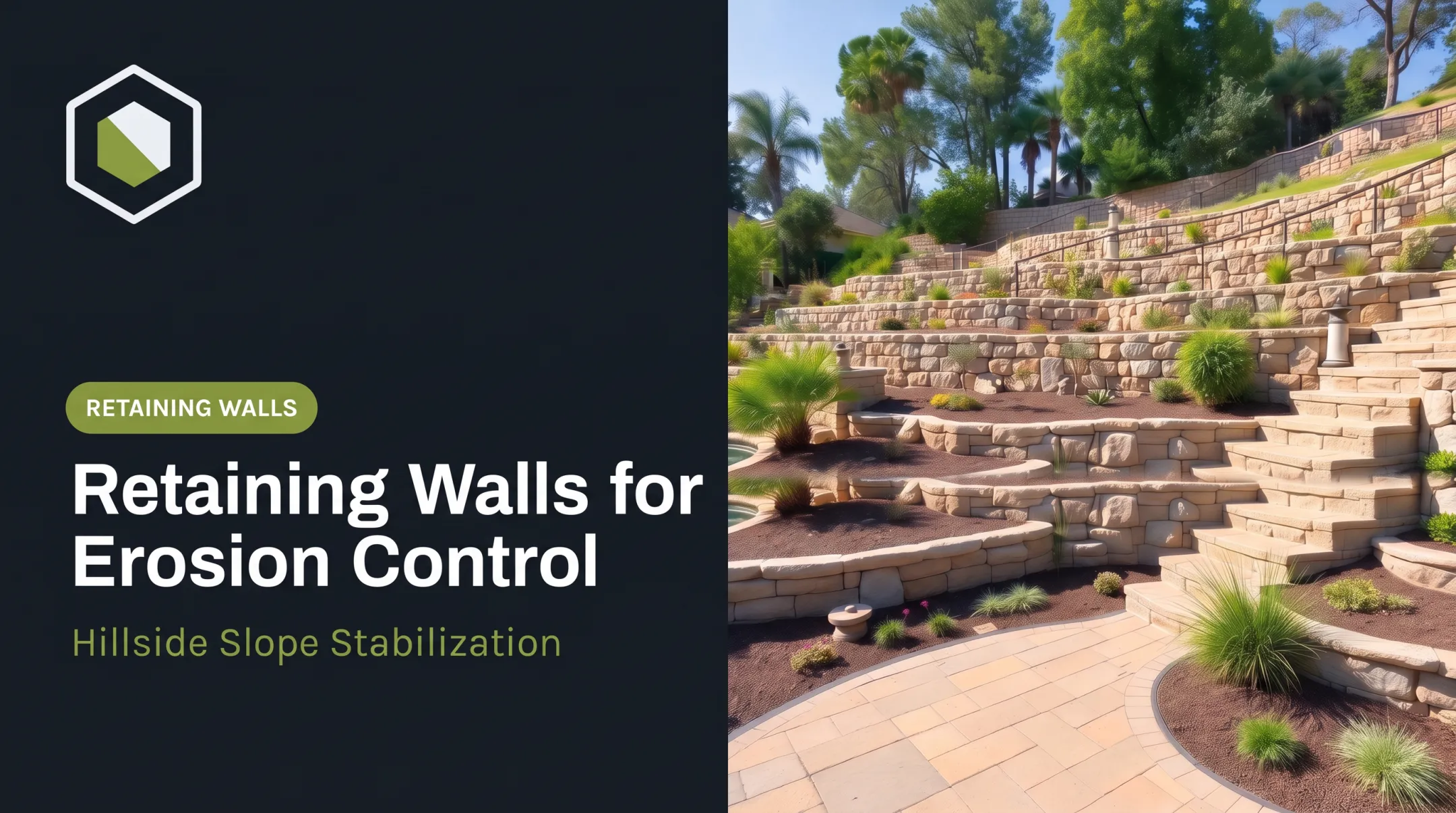
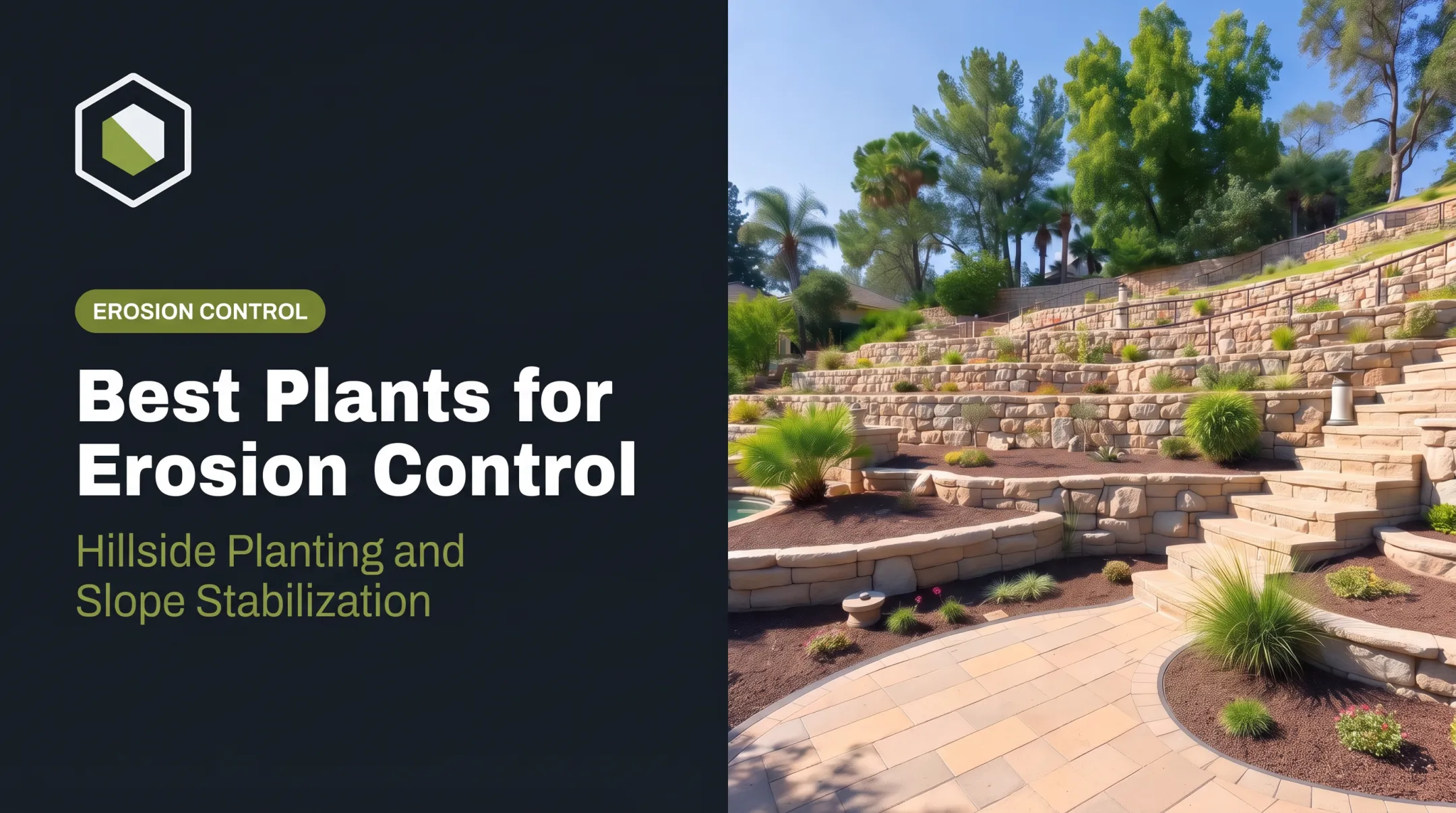
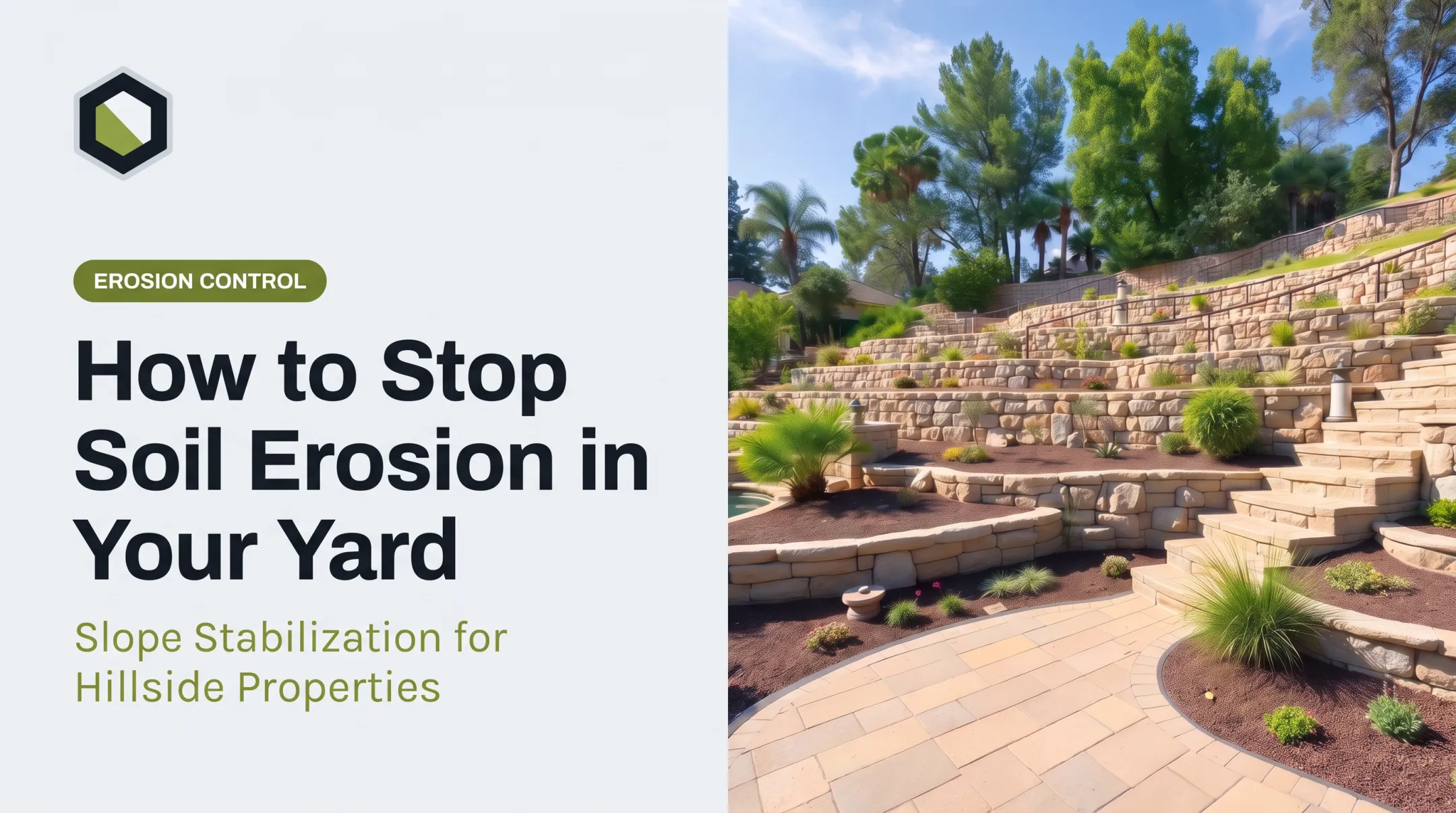
Pool and retaining-wall projects on a slope raise the stakes. Excavation edges, cut and fill slopes, narrow access, and elevation changes all concentrate runoff. Coordinate drainage, structural work, hardscape, and planting so permanent improvements don't undermine temporary controls or create new discharge paths.
How to Implement, Inspect, and Maintain the Plan
Before construction
Confirm before work starts:
- Approved plan and permits
- Responsible parties and emergency contacts
- Disturbance limits and access route
- Material availability and discharge points
Install perimeter, inlet, access, and slope controls before major disturbance. Photograph baseline conditions.
Build controls in sequence
Tie each BMP to a phase: when it's installed, what it protects, when it's inspected, and when it's removed. Field crews should compare conditions to the drawings and report:
- Changed drainage
- New exposed soil
- Failed controls
- Work outside the disturbance limits
Inspect and maintain
Under the 2022 federal permit, inspections run every 7 days, or every 14 days plus within 24 hours after a storm of 0.25 inch or more. California requires weekly visual inspections plus storm-event inspections. Check for:

- Undercut or damaged silt fence
- Clogged inlets and sediment buildup
- Eroded channels and displaced wattles
- Muddy tracking and exposed stockpiles
- Thin or failed stabilization
Fix problems promptly and log them. Maintenance includes:
- Removing sediment from controls
- Repairing, reinforcing, or replacing damaged BMPs
- Reseeding failed areas
- Disposing of collected material safely
Update the plan
Revise the plan when grading, phasing, drainage, access, BMP locations, schedule, receiving-water exposure, or responsible staff change. Field maintenance isn't a formal amendment. Verify the approval process before altering a required design.
Final stabilization and closeout
Final stabilization means permanent vegetation, paving, hardscape, finished drainage, and slope protection, with temporary measures removed and rills or deposits corrected. Under the federal permit, vegetation must meet a 70% cover criterion or qualify as permanent nonvegetative stabilization. California allows the 70% method, RUSLE/RUSLE2, or a Regional Board-approved custom method.
Closeout checklist:
- Final inspection
- Record retention
- Agency notifications
- As-built changes
- Evidence that no uncontrolled discharge risk remains
Coordinating with a design-build contractor
On hillside lots, handoffs between trades are where elevations and drainage go wrong. Stonework Design & Build, based in Calabasas, delivers pools, engineered retaining walls, hardscape, grading, and planting under one contract across Los Angeles and Ventura counties. The team handles permitting in-house. Confirm who prepares the plan, who provides engineering, and which agency approvals apply before work starts.
Common Mistakes and the SWPPP Connection
Plans fail for predictable reasons. Common mistakes include:
- Submitting a generic plan
- Showing BMPs that were never installed
- Not updating drawings after field changes
- Placing controls without considering flow paths
- Neglecting stockpiles and entrances
- Keeping inconsistent inspection records
Enforcement is real. EPA's 2019 Massachusetts settlement involved alleged failures to install and maintain erosion controls at three sites, with a $48,000 penalty.
Those gaps often come from treating the ESCP as paperwork instead of tying it to the SWPPP. An ESCP focuses on site-specific erosion and sediment measures. A SWPPP is the broader permit-required plan covering pollutant sources, responsibilities, inspections, corrective actions, and records.
Erosion and sediment controls sit among the SWPPP's BMPs. One plan may reference the other, but verify whether federal, state, or local programs require both.

Before work begins:
- Confirm jurisdictional requirements for your site and permit type.
- Reconcile grading and drainage drawings so controls match actual flow.
- Name the inspector responsible for routine checks.
- Install initial BMPs before soil is disturbed.
- Document the site with photos and baseline notes.
- Set a process for weather delays and field changes.
Frequently Asked Questions
What is an erosion and sediment control plan?
A site-specific plan showing how soil will be protected, runoff managed, and sediment contained during construction. Required contents vary by jurisdiction and project conditions.
What are the best management practices for erosion and sediment control?
Minimize disturbance, control runoff, stabilize soil, and capture sediment. Add protected stockpiles, stabilized entrances, regular inspections, and prompt maintenance.
What is the difference between erosion and sediment control?
Erosion is soil detaching and moving. Sediment control captures or limits that soil before it leaves the site.
Can soil erosion be reversed?
Active erosion can often be stopped and damaged areas restored. The right fix depends on cause, slope, soil, drainage, and damage extent, and lost soil isn't guaranteed to return.
What are the 7 types of soil erosion?
Commonly cited types are splash, sheet, rill, gully, streambank, wind, and tillage erosion. Classifications vary by source; NRCS, for example, groups them differently.